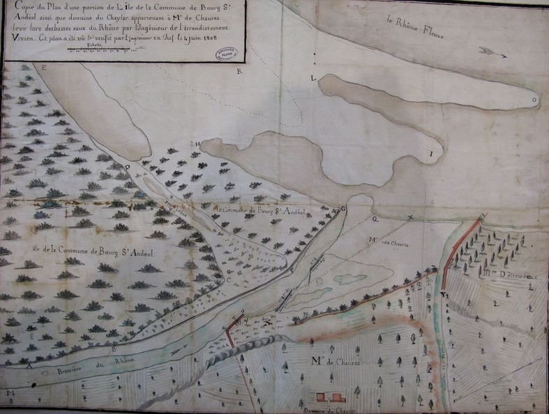
Original title (in French): Copie du plan d'une portion de l'île de la commune de Bourg-St-Andéol ainsi que domaine du Chaylar, appartennant à Monsieur de Chauras, levé lors des basses eaux du Rhône. English title: Copy of the plan of a portion of the island in the town of Bourg-St-Andéol, as well as the Chaylar estate, belonging to Mr. De Chauras, surveyed at low-flow.
Auteur : Vivien
Lat : 44.389521, Lon : 4.657812
Pour plus d'informations vous pouvez consulter la page de l'image sur photo.driihm.fr -> Lien