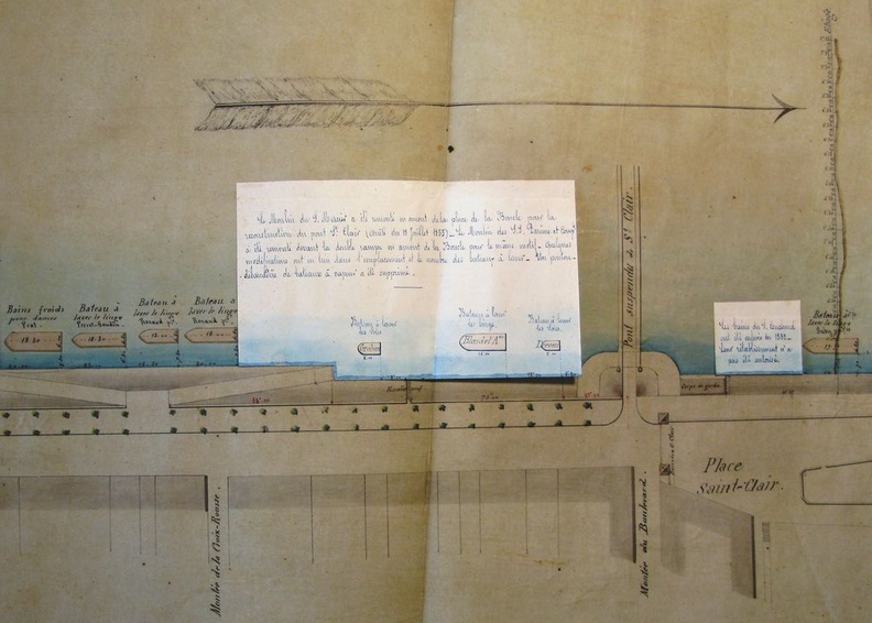
Original title (in French): Plan de la rive droite en amont du pont de la Guillotière, avec l'indication des usines et bateaux à laver, en station sur le fleuve. English title: Map of the right bank upstream of the Guillotière bridge, with indication of the factories and wash-house boats in station on the river.
Auteur : Thiollière
Lat : 45.775048, Lon : 4.839787
Pour plus d'informations vous pouvez consulter la page de l'image sur photo.driihm.fr -> Lien